Technical airport diagram poster — real runway data, drawn to order
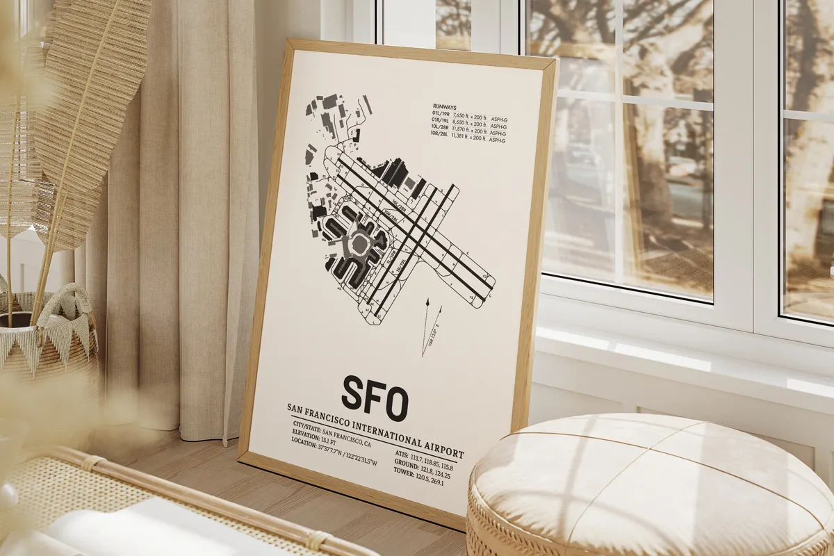
An airport diagram built the way a pilot expects to see one: accurate runway headings, radio frequencies, elevation, coordinates and magnetic variation. Made to order for any airport, and delivered as a print-ready JPEG and vector PDF.
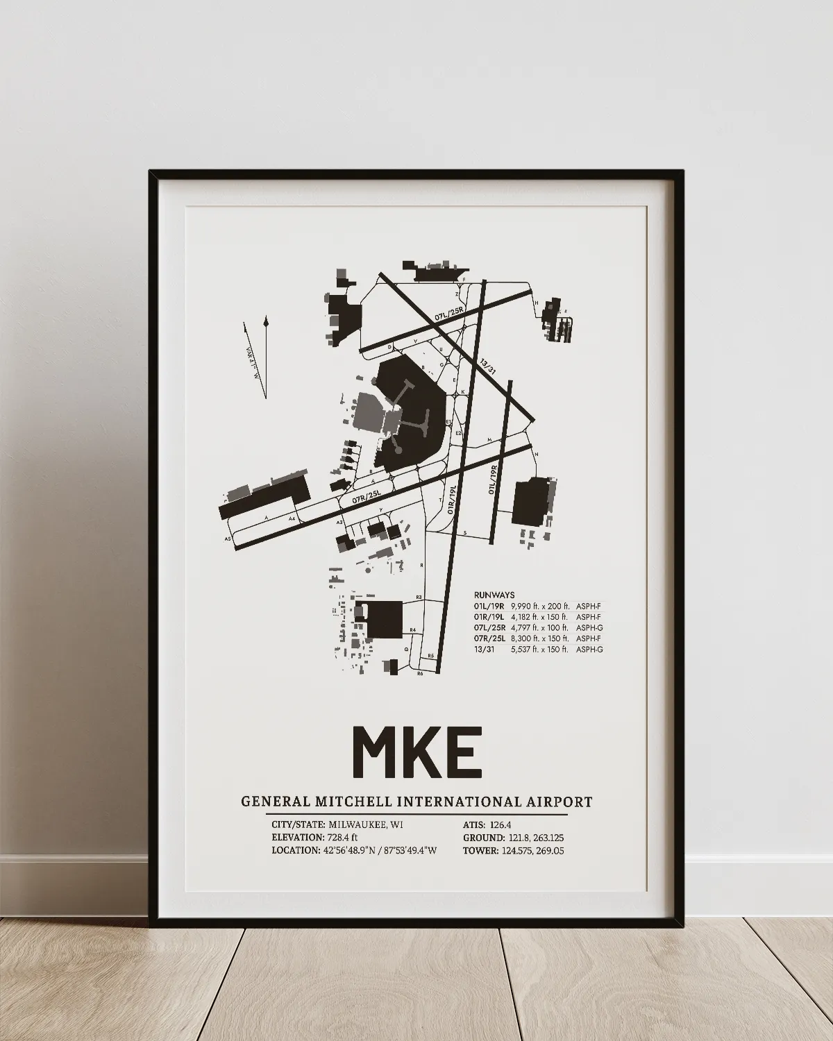
What's actually on the map?
- The diagram
- runways, taxiways, terminals, aprons and buildings in their true positions
- Identification
- IATA and ICAO codes, full airport name, exact coordinates
- Operational data
- field elevation above mean sea level, magnetic variation
- Communications
- ATIS, Ground and Tower frequencies
- Runway table
- designations and lengths
These maps are decorative. They are not for navigation.
Built for someone who would notice
A minimalist print looks fine to anyone. A pilot reads it differently — they check the runway headings, they know what the field elevation should be, they can tell when a taxiway layout is wrong. Every diagram is drawn from current aeronautical data so the detail holds up to that kind of reading.
Who this is for
Working pilots marking a home base or a favourite hub. Retiring captains. Flight instructors. Military veterans marking a deployment airfield. And people buying for them, usually for a milestone that deserves something more serious than decor.
What do you actually receive?
A 300 DPI JPEG and a vector PDF, normally within 24–48 hours. The PDF is the one to take to a print shop — it scales to any size without losing line quality. Two free revisions are included. Nothing is shipped.
What buyers say
“Wonderful quality, quick turnaround and really helpful.”
Etsy buyer · verified buyer
“Such a great purchase ~ I ordered three for my son, for each of his airports so far. Wonderful grouping!”
Kathy · verified buyer
“This seller went above and beyond. They respond within two hours, are punctual, and their information clean and concise. I'd say they had the item ready, in my hands, within 24 hours.”
William · verified buyer
Common questions
Is the technical data accurate?
Yes. Frequencies, coordinates, elevation and runway layouts are drawn from current aeronautical data. The maps are decorative and must not be used for navigation.
Can you do small or regional airports?
Yes. Small fields are the most common request, and they often make the better-looking map.
Can I choose which data appears?
Yes. Any element can be removed or emphasised — some buyers want only the diagram and the runway table.
How long does it take?
Normally 24–48 hours once the airport and preferences are confirmed.
What file formats do I get?
A 300 DPI JPEG and a vector PDF, suitable for large-format printing.
Any airport. Any hub, any home base.
Send the airport and any preferences — the diagram arrives within 24–48 hours, with two free revisions.
Checkout is handled securely on Etsy.